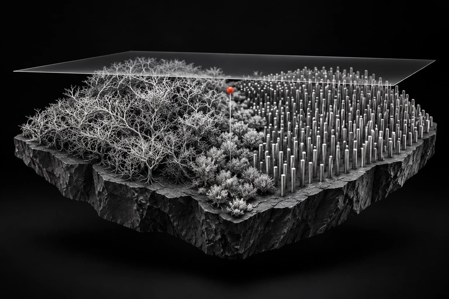
Trees can hide very different land uses
Google DeepMind and Google Research, working with the World Resources Institute and the International Institute for Applied Systems Analysis, announced the Forest Typology dataset on October 22. Known as ForTy, it goes beyond mapping whether trees are present.
The release separates primary and naturally regenerating forests, planted and plantation forests, tree crops and agroforestry, and other land. That distinction matters when a green area remains green but its land use changes.
The announcement pairs a 2020 baseline with an early-release annual series covering 2017–2025. They should not be treated as one equally established product: the baseline has a published validation study, while the newer series is explicitly described as an early release.
What the study actually measured
The paper, published in Scientific Data on October 21, reports 90.2% overall accuracy across six categories. Its accuracy estimates use 8,190 locations resolved by expert consensus from a stratified random sample of 9,100.
That is more precise than reading the announcement’s reference to over 9,000 sites as the number used in every accuracy calculation. The unresolved sites were not included in those estimates.
The authors report a much weaker result for planted forest: an F1 score of 58.2%. F1 combines how often a predicted category is right with how much of that category the model finds. It is not interchangeable with overall accuracy. The paper also notes that the large other-land category substantially influences the headline score.
A confidence surface, not a verdict
The Earth Engine catalog describes a 10-meter output grid for 2020, between 65 degrees south and 84 degrees north. It warns that the effective detail of the input data can be coarser.
The distributed class scores have not been calibrated after training. A score therefore should not be read as a verified percentage chance that a particular plot has the assigned history.
The catalog flags ambiguity in shaded agroforestry, forest boundaries and management history. These are not details that a satellite image always reveals directly. Local reference data and an appropriate threshold remain important when applying the map.
Keep the baseline separate from the decision
ForTy offers a more detailed starting point for investigating land use. It does not establish present-day conditions on every parcel, determine a shipment’s origin or certify legal compliance.
Model Current has not reproduced the study or checked individual plots. The reported accuracy belongs to the authors’ evaluation, and the newer annual series needs its own scrutiny.
The useful advance is a richer set of categories with visible uncertainty. A decision about a forest still needs evidence about the place, the time and the consequence of getting its classification wrong.
Sources
- Google DeepMind: ForTy release and early annual seriesOctober 22 joint research announcement; 2020 baseline distinguished from early-release 2017–2025 series. No market-first, legal-compliance or independent replication claim adopted.
- Scientific Data: ForTy data descriptorPrimary publisher text indexed in search confirms October 21 publication, 8,190 resolved of 9,100 sampled sites, 90.2% overall accuracy, planted-forest F1 58.2% and class-weighting limitation. Direct article/PDF requests redirect to publisher cookie handoff, not article content; no access restriction bypassed.
- Earth Engine: ForTy 2020 catalog and limitationsPrimary dataset documentation for six categories, geographic coverage, output resolution, uncalibrated scores and regional/temporal limits. The dataset is not a current field survey or compliance certificate.